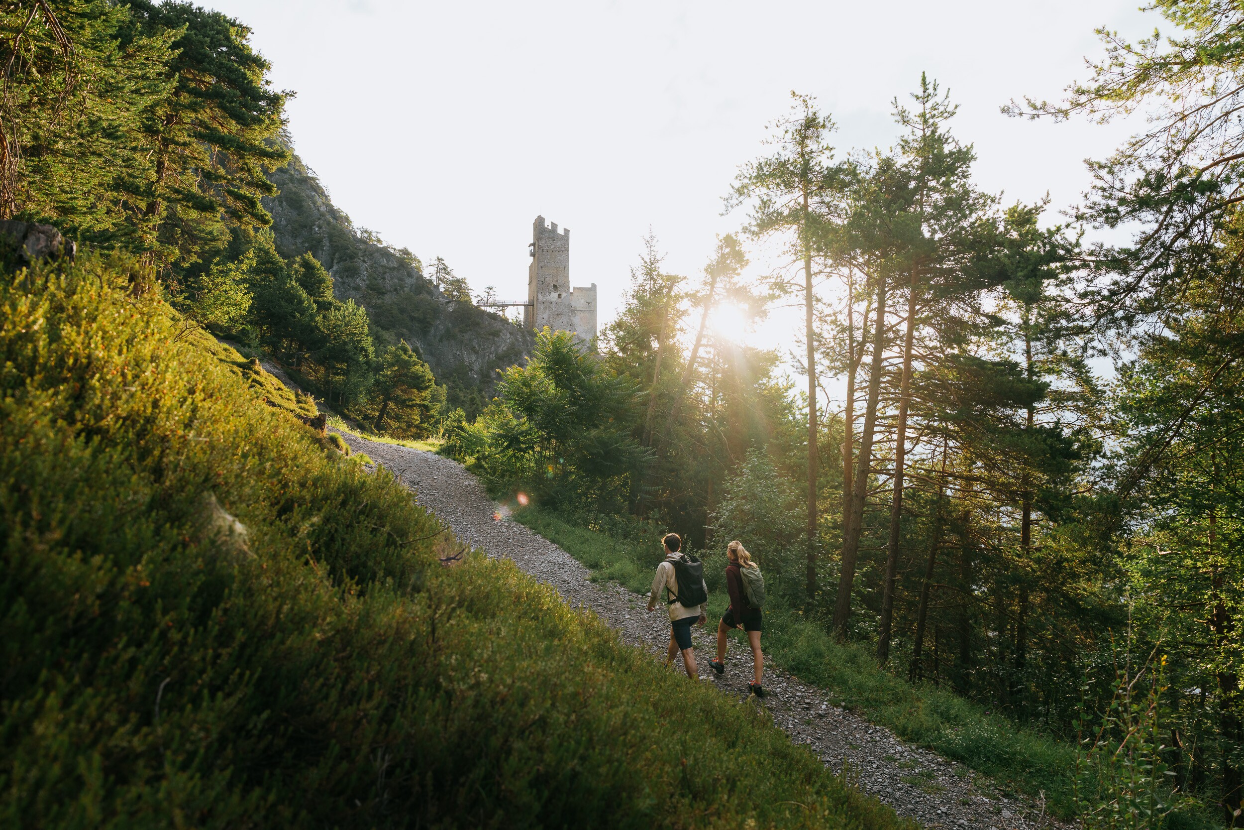
Partial sections of the Way of St. James take you up partly steep paths to the lookout point at the Schrofenstein ruins.
The starting point is the center of Perjen. Follow the Burgweg until you turn left into the Sonnenweg. Follow this path for about 350 m until a path turns off to the right and leads steeply uphill in the direction of the Schrofenstein ruins. Follow this path for about 300 m until you reach the junction Stanz and Ruin Schrofenstein. From there, continue uphill to the right for about 700 m until you reach the forest road. Follow the forest road to the lookout point (250 m) to the Schrofenstein ruins.
At a Glance | |
|---|---|
| Difficulty level: | medium difficulty |
| Elevation loss: | 295 m |
Information | |
|---|---|
| Walking time / descent: | 1 h |
| Walking time / ascent: | 1.25 h |
| Starting point: | Burgweg Landeck-Perjen |
| Finishing point: | Schrofenstein Ruins |
Fitness & technique | |
|---|---|
| Fitness: | 2 |
| Technical: | 3 |
Best season | |
|---|---|
| May: | Yes |
| Jun: | Yes |
| Jul: | Yes |
| Aug: | Yes |
| Sep: | Yes |
| Oct: | Yes |
Getting there | |
|---|---|
| Arrival by public transport: |
To the Landeck-Zams train station. From there, walk to the starting point in Perjen. |
| City: | Landeck | Stanz |
Route by
Google MapsYou need a bus or taxi?
Bus schedule Here are our recommendations Download TaxiApp Tirol für
Android oder
IOS


Marketingmaßnahmen:
MIT UNTERSTÜTZUNG VON BUND, LAND UND EUROPÄISCHER UNION


