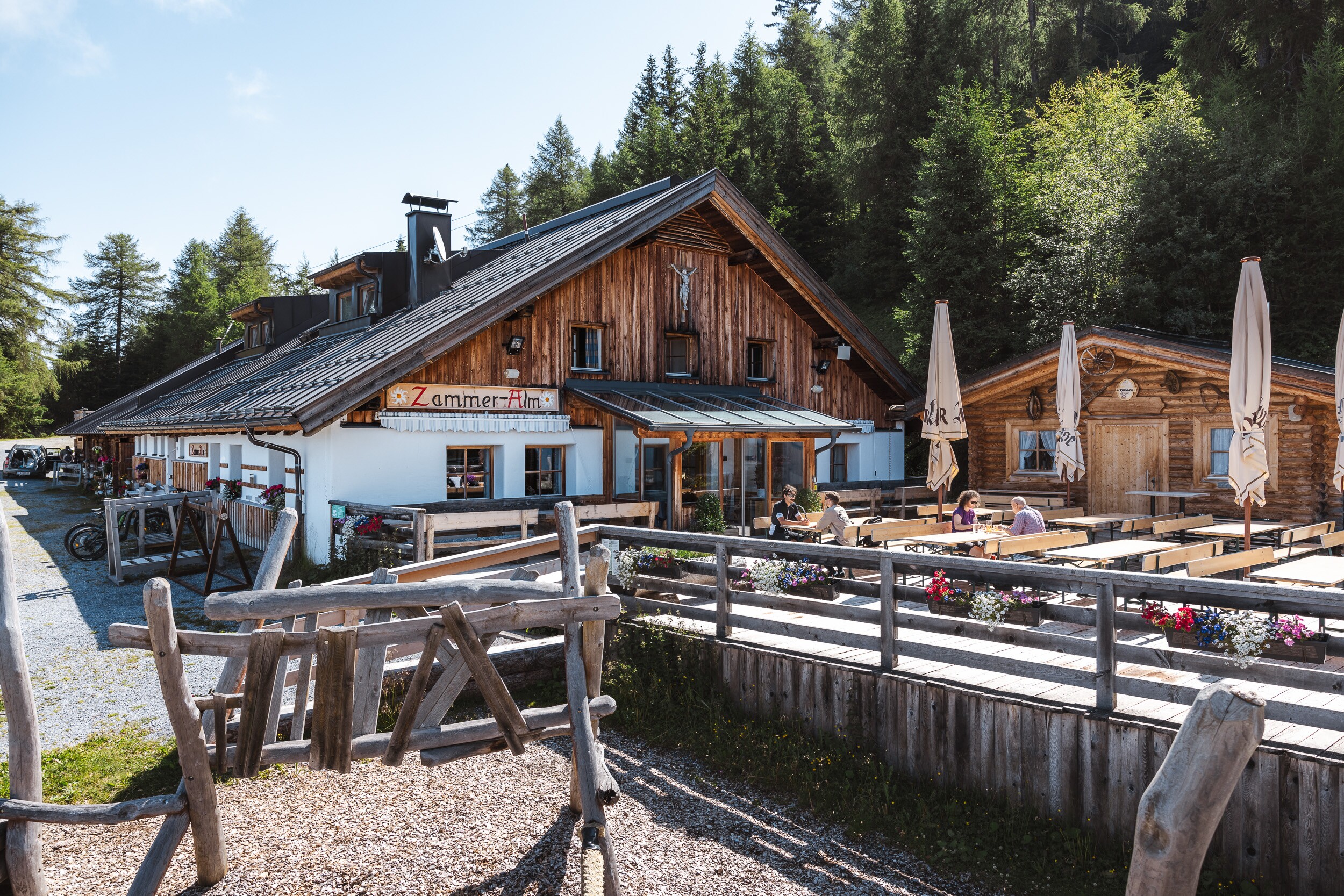
Zammer Alm / Schihütte Zams - Jagerhütte - Fließ

Hiking & mountain tour

Leisurely hike from the Zammer Alm / Schihütte Zams over to the Jagerhütte and on to Fließ.

Turn the tour around

At a Glance

Difficulty level:medium difficulty
Elevation loss:835 m
Walking time / ascent:0.5 h

Information

Walking time / descent:2.75 h
Starting point:Zammer Alm / Schihütte Zams
Finishing point:Fließ
Path surface:Forstweg, Steig, Asphalt

Fitness & technique

Fitness:3
Technical:3

Best season

May:Yes
Jun:Yes
Jul:Yes
Aug:Yes
Sep:Yes
Oct:Yes

Altitude Profile

GPS Track

Download

Everything about long distance hiking in Tyrol

Download

Route by

Google Maps

You need a bus or taxi?

Bus schedule Here are our recommendations Download TaxiApp Tirol für Android oder IOS
Recommendable for Zammer Alm / Schihütte Zams - Jagerhütte - Fließ

Jagerhütte (1.700m)
Jagerhütte (1.700m)

Idyllic location at 1700m; above Fließ; insider tip on the Venet southern slope in the Ven…

Read more
Zammer Alm (1.760m)
Zammer Alm (1.760m)

Wandern - Mountainbike - Schi fahren - Touren gehen

Read more
Documentation Center VCA

The Documentation Center Via Claudia Augusta documents the Roman Kaiserstraße. In the disp…

Read more
Skihütte Zams
Skihütte Zams

Welcome to Skihütte Zams!

Read more
Archaeological Museum

The archaeological museum in Fliess contains finds (weapons, jewelery, coins, ...) from th…

Read more

Marketingmaßnahmen:

MIT UNTERSTÜTZUNG VON BUND, LAND UND EUROPÄISCHER UNION

Infrastrukturmaßnahmen: