We use cookies to personalize content and ads, to offer functions for social media and to analyze access to our website. If you give us your consent, we will provide information on your use of our website to our partners for social media, advertising and analyzes. Our partners may carry this information together with other data that they have provided them or who have collected them as part of their use of services. You can revoke your consent at any time.
Read more...
Necessary cookies
Statistics
Marketing
Panorama hike Larcher Alm
Hut & alpine pasture hiking
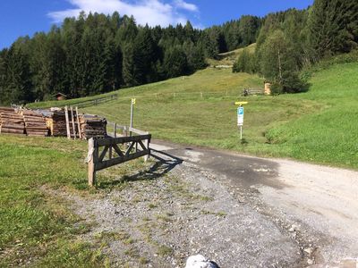
At the fork, turn towards Farmie and then on to Amishaufen, where a steep track forks off to the left. A little further keep right and walk in the direction of Gamsstein just below the catered mountain hut Venetalm. On leaving the Venetalm, take the track to the left down towards the catered mountain hut Larcher Alm. From there, take the track to the left to Auders.
 Download TaxiApp Tirol für
Android oder
IOS
Download TaxiApp Tirol für
Android oder
IOS